Context
• Kaziranga lies on Brahmaputra floodplains; animals migrate to Karbi Anglong hills during floods
• Existing highway passes along/through park boundary, causing frequent vehicle–animal collisions
• Proposed ₹6,950-crore elevated corridor will allow uninterrupted animal movement beneath the road
• Project balances infrastructure + conservation using eco-sensitive design
• Expected to improve wildlife safety, habitat connectivity, and disaster resilience
Key Prelims Pointers
• Species focus: One-horned rhinoceros, elephants, deer, carnivores
• Number of National Parks in Assam: 7
(Kaziranga, Manas, Nameri, Orang, Dibru-Saikhowa, Dehing Patkai, Raimona)
National Parks : Rivers
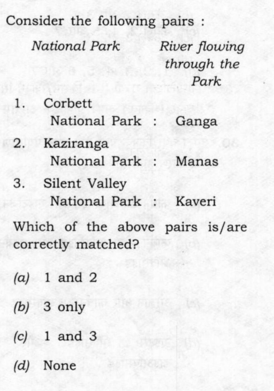
• Jim Corbett National Park: Ramganga River (a tributary of Ganga)
• Kaziranga National Park: Brahmaputra, Diphlu, Mora Diphlu
• Silent Valley National Park: Kunthi / Kunthipuzha River (divides the park)
• Papikonda National Park: Godavari River
• Rajaji National Park: Ganga & Son Rivers
• Pench National Park: Pench River
• Kanha Tiger Reserve: Banjar River