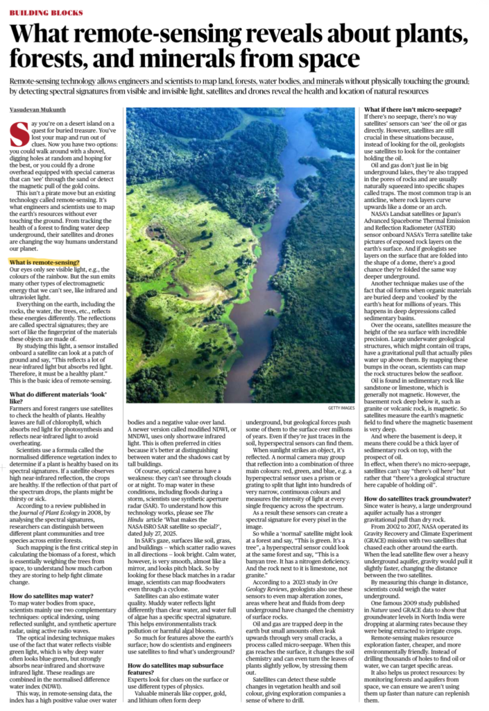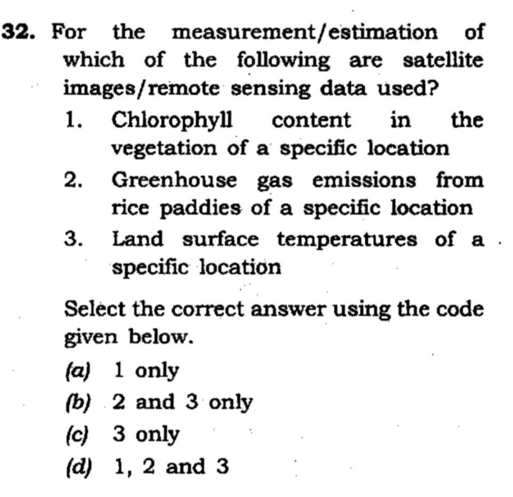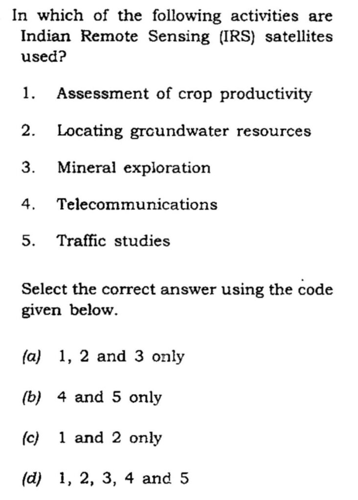

What is Remote Sensing?
- Remote sensing is the science of collecting information about Earth’s surface without physical contact, using satellites and drones.
- It works by detecting spectral signatures—how different materials reflect or emit visible, infrared, and microwave radiation.
Key Points
1) Plants & Forests
- Healthy vegetation reflects more near-infrared light.
- Used to assess crop health, forest cover, biomass, and carbon storage (NDVI index).
2) Water Bodies
- Mapped using optical sensors and radar (SAR).
- Helps detect floods, droughts, groundwater changes, and water quality.
3) Minerals & Oil
- Satellites detect surface rock patterns, magnetic anomalies, and geological structures (not oil directly).
- Used in mineral exploration (copper, gold, lithium) and oil prospecting.
4) Groundwater
- NASA’s GRACE mission measures changes in gravity to track groundwater depletion (important for India).